Support WBUR
Hurricane Sandy Gains Power And Aims For Northeast

Hurricane Sandy is gaining strength and has taken a left turn toward the East Coast and its date with two other weather systems. An official with the National Oceanic and Atmospheric Administration is calling it "the worst-case scenario."
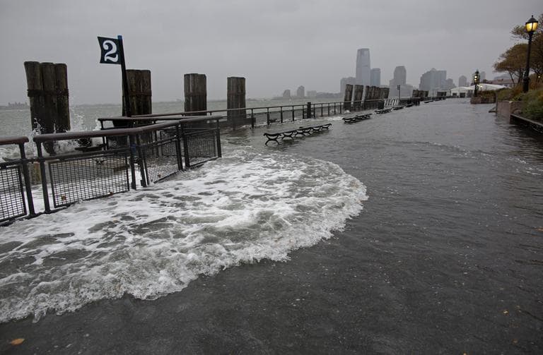
The storm, with tropical storm-force winds extending almost 500 miles from its center, is expected to blow ashore along the New Jersey coast tonight or early tomorrow. Combined with high tides and a full moon, it brings the fear of a huge surge of seawater.
The combined storm is expected to affect everyone from the East Coast to the Great Lakes, with up to 3 feet of snow forecast for the West Virginia mountains.
Airlines have canceled thousands of flights in the Northeast and air travel could come to a halt for at least two days. That has caused a ripple effect across the globe.
Get the latest on the track of Hurricane Sandy:
Guest:
- Ed Kieser, Here & Now's meteorologist at-large.
This segment aired on October 29, 2012.