Support WBUR
Boston Will Use Uber Data To Tackle Traffic Issues
Boston is partnering with Uber to leverage the ride-hailing service's data in hopes of addressing the city's transportation needs and finding solutions to traffic problems.
"It's a tool for us to help make the city work better and to help make sure that people can get around, that we're providing the right kind of infrastructure that's going to serve the city well in the coming years," Boston's chief information officer, Jascha Franklin-Hodge, told WBUR's Newscast unit.
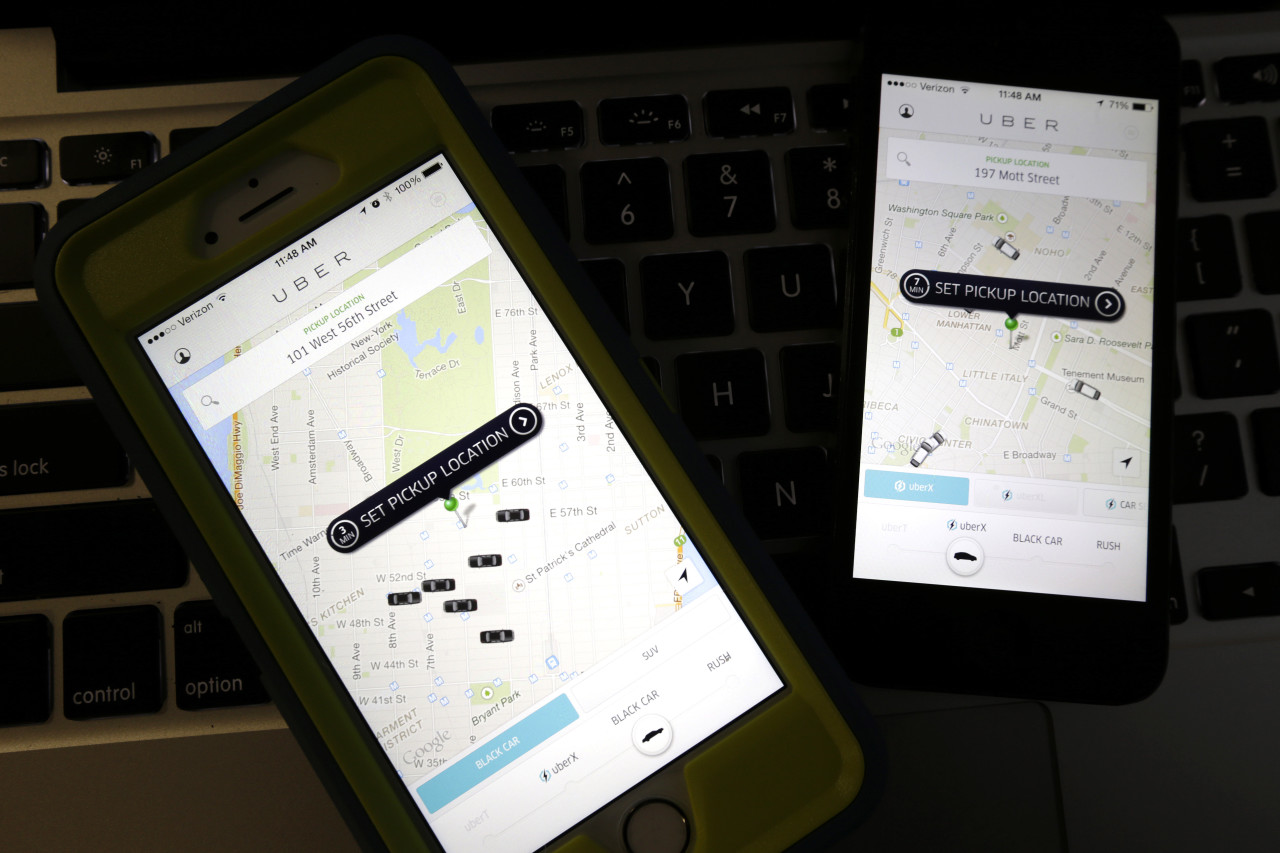
With the new partnership announced Tuesday, Uber will provide the city with information on customers' trips, including pick-up and drop-off locations, distance traveled, the duration of the trip, and the time and date each trip begins. According to Uber, the data will be compiled by zip code and made anonymous to protect the privacy of riders and drivers.
The city plans to use the data to determine how long it takes to get from one neighborhood to another at different times of the day and gain insights into the flow of vehicular traffic in Boston — particularly between different business districts. Franklin-Hodge says the information could help in planning everything from major urban development initiatives to traffic light timing or rotary construction projects.
"In total, this becomes one of the data sets that really helps to inform our transportation and planning conversations, especially as we think about how to meet the goal of building 53,000 new units of housing by 2030 and really provide the infrastructure that's going to support our city," Franklin-Hodge said. "Anywhere where we are seeing extensive development or interest in development in the city is going to be a place where we can apply this data and start to use it to help answer some questions."
It's important to note that this data is limited to people using the ride-booking service and won't show where people in Boston generally are traveling to and in what volume. However, Franklin-Hodge said, it will still give the city insight into travel patterns.
"If we can measure how long it takes an Uber car to drive from one neighborhood to another, that's the same amount of time it's likely going to take a private passenger car to drive from one neighborhood to another at that same time of day," Franklin-Hodge said. "Uber just becomes one measurement point on our roadways, but it's reflective of the overall performance of those roadways for all road users."
The city will use the Uber data in conjunction with other information, such as census data, to understand how different neighborhoods are using the roadways and the impact of population and demographic changes on traffic patterns, Franklin-Hodge said.
The city also has a partnership with Waze, a navigation app, to get data on traffic incidents and road conditions in the city. Franklin-Hodge said such partnerships will make the city smarter and more effective in its planning efforts.
"These kinds of initiatives will really be the basis for a data-driven way of operating and managing a city going forward."
