Advertisement
Forecast: Up to 6 Inches Of Snow, But Most See Less. Lots Of Melting Sunday
There's a lot of interesting forecast challenges over the next several days from how much snow we're going to get to how warm it's going to be.
A cold front crosses the area this morning and any showers will end followed by a lot of clouds. It will also become windy today. Temperatures will start to fall this afternoon and it becomes quite cold overnight. It's this cold air that we need in order to get our little snow storm Saturday night.
Saturday will be cold, before the snow arrives. Temperatures will struggle to get into the lower 30s, which is actually below average for the time of year. Clouds will roll in late in the day as a storm system now over the southern tier of the United States heads toward the coastline of New England.
The storm will be a very fast-moving system and therefore snow amounts will be kept down. The bulk of the snow is going to fall during the overnight hours while we're all sleeping. If you do need to travel Saturday night or very early Sunday be aware that roads will be slippery before the crews have a chance to work on them.
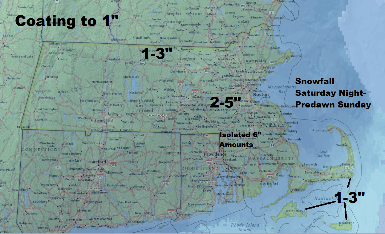
Overnight Snow
Right now it looks like 3 to 6 inches of snow is most likely, with 1 to 3 inches over the Cape and the Islands. The snow will be heavy and wet. There is an outside chance of some power outages for those areas that see the most snow.
Bare Ground Returns
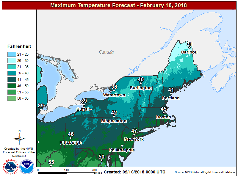
Sunday will be bright and sunny — and with temperatures in the 40s, things will be melting fast. It gets even warmer next week, with 60s likely Tuesday and perhaps lasting into Wednesday.
You can follow my updates here and on Twitter @growingwisdom.
Friday: Clouds, mild. Maybe a morning shower or two. Highs 50-55, then falling in the afternoon.
Friday Night: Clear and cold. Lows 17-24.
Saturday: Colder with sunshine, then late day clouds. Highs in the mid-30s.
Sunday: Early snow, then sunshine. Highs 39-45.
Monday: Mild again with sunshine, but some showers late. Highs 39-45.
Tuesday: Breezy and warm. Highs 58-67.
