Advertisement
Forecast: Chilly Air Arrives Wednesday Night
Yesterday evening provided summertime-like thunderstorms with strong gusty winds and even hail. I was thinking that was one of the more active late October thunderstorm days I've ever seen. Having the Red Sox clear the stadium during a lightning storm for the first game of the World Series was probably close to unprecedented.
The atmosphere continues to be active today, with just the chance of a morning shower and another one later on this afternoon. Temperatures will be chilly and struggling toward the 50-degree mark. Overnight it will become clear and much colder along with a gusty wind. Wind chills during the Red Sox game will be down in the 30s with actual temperatures in the 40s.
Thursday and Friday feature lots of sunshine, but very cold temperatures for the end of October, as readings remain the mid-40s both days. The angle of the sun continues to get lower each afternoon and this time of the year the sun is very similar to what we experienced in the middle of February.
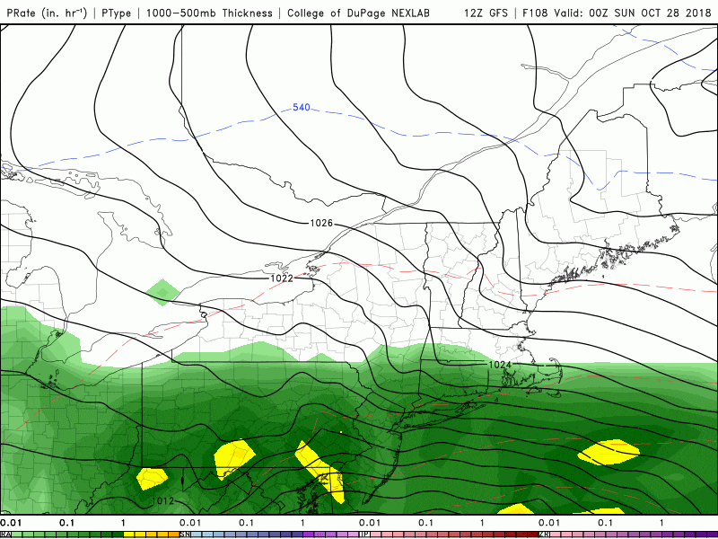
A new storm system will develop along the Atlantic seaboard Friday and move northward this weekend. The strength of the storm as well as the exact track will determine just how much rain and wind we see.
Tides are astronomically high this weekend and with this coastal storm and the wind coming in off the water, it's likely we're going to see at least some coastal flooding. If the storm gets quite strong, the coastal flooding would go from being a nuisance to perhaps moderate, but I don't see this becoming a major coastal event. Nevertheless it's something I'll be keeping an eye on over the next 48 hours.
You can follow my updates here and on Twitter @growingwisdom.
Wednesday: Clouds, some breaks, maybe another quick shower in the morning or evening, with a high just under 50.
Wednesday Night: Blustery with clearing. Lows 32-40. Wind chill into the 20s.
Wednesday: Clouds, some breaks, maybe another quick shower in the morning and again mid-afternoon. A high just under 50.
Thursday: Generally sunny and chilly. Highs in the mid-40s. Cold start.
Friday: Mainly sunny, with a high near 44.
Saturday: A storms brings rain and wind with chilly temperatures in the 40s.
Sunday: Clouds, a few showers, chilly. Highs in the 40s.
