Advertisement
Today's Weather: Damp Morning, But Milder Afternoon
It was a rather damp day yesterday, with temperatures only in the upper 30s and lower 40s.
This morning features a band of rain moving through the region followed by clearing skies and mild temperatures. I think this is the last really mild day for awhile as we get more into a wintry pattern.
Temperatures tomorrow are going to be significantly colder and they will also be quite blustery, making it feel even chillier. Over the weekend afternoon, highs will stay in the lower 30s. On Sunday and Monday winds will be quite light but temperatures will still remain in the mid-30s just below seasonal averages.

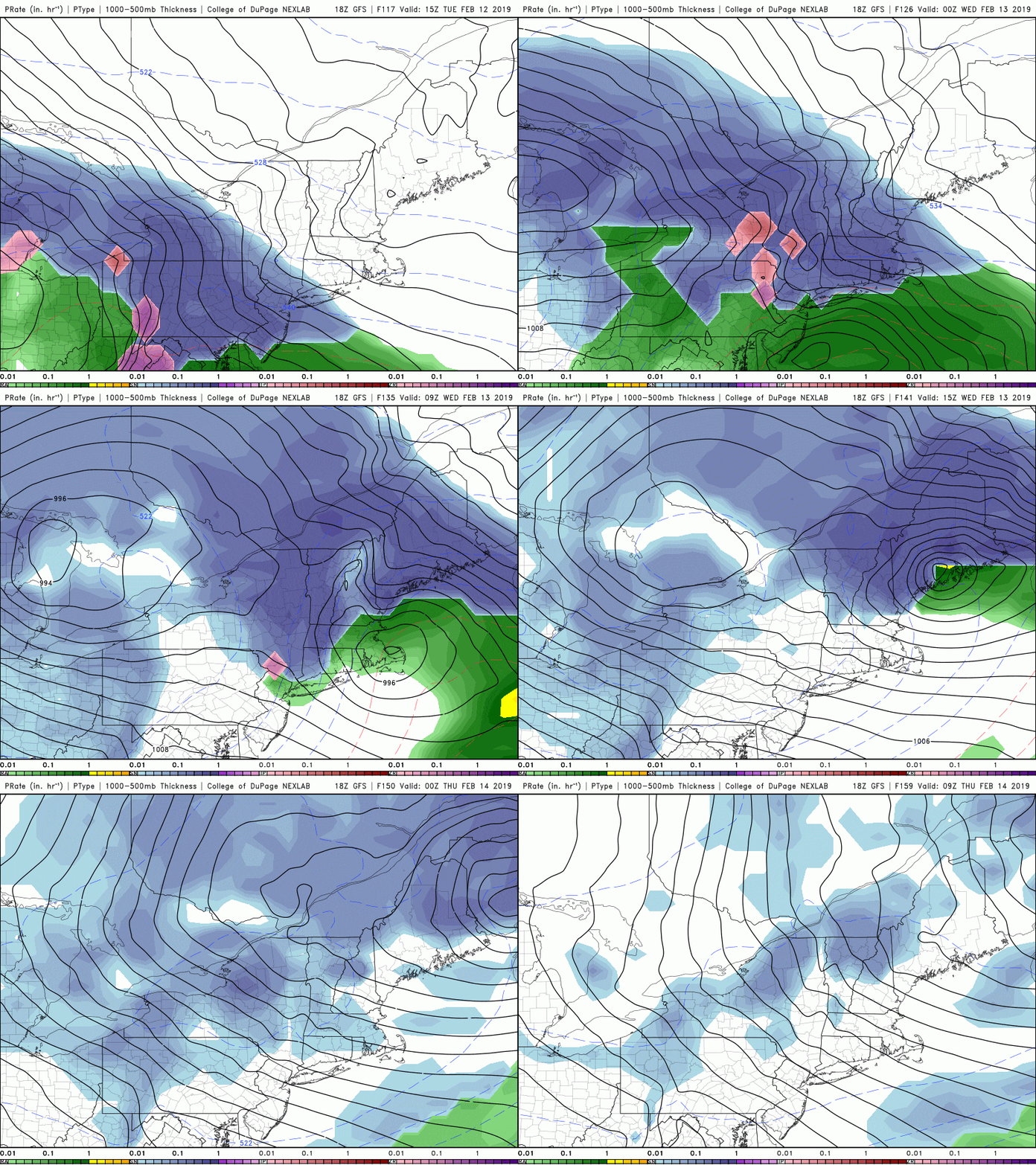
A new storm system will move from the southern states toward the northeast Tuesday into Wednesday. There's still a lot of questions about this particular storm system as there will be two centers. One of these will move to the west of New England while the other one will the redevelop off the coastline. The exact configuration and interplay of these two storms will determine what type of precipitation we have and how much. There is the potential for a plowable snow storm out of this event, but there's also the potential that it ends up being a snow to rain situation similar to what we've seen a lot this winter.
Once this storm passes Wednesday night, temperatures will return to chilly levels, remaining in the 30s for the rest of the week.
You can follow my updates here and on Twitter @growingwisdom.
Friday: Some morning showers, maybe a downpour, then clearing. Milder. Highs 48-54.
Friday night: Clear and cold. Lows 18-25.
Saturday: Colder, highs in the upper 20s to lower 30s with sunshine. Quite blustery.
Sunday: Sunshine and chilly. Highs in the 30s.
Monday: Sun and clouds, a flurry. Highs 32-36.
Tuesday: Clouding up. Snow arrives. Highs 32-38.
