Advertisement
Today's Weather: Sub-Zero Wind Chills Moving In Overnight
A small, low pressure area crossing the region this morning is bringing a bit of rain and snow. There will be more accumulation to the north, where several inches will fall, including across the northern ski areas.
If you've been thinking about hitting the slopes, this will set up a cold — but great — ski day for Friday.
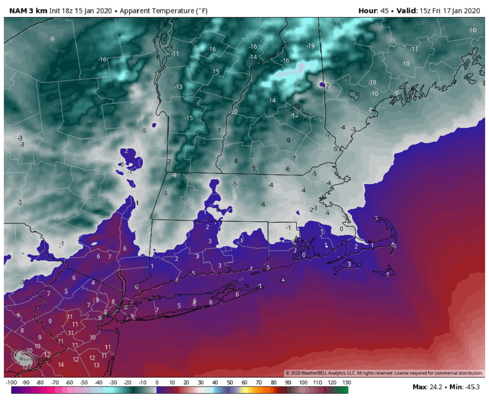
The precipitation will end this morning, and then I'm expecting sunshine to return — but it's going to be windy. There's a wind advisory posted for the area for the first part of today. The wind will be ushering in a much colder air mass. This air is coming from Canada and it is not only cold, but it's very dry.
The cold air mass will also set the stage for our next weather system, which comes Saturday. A storm system will move to the west of New England, while a new low pressure area develops just to the east. When storms move in this fashion, they tend to bring warm air in off the ocean — meaning that even if the precipitation changes in snow in your area, it will move over to rain Saturday night.
This storm is what we call progressive. In other words, it's moving at a fairly quick pace. I expect a few inches of snow before a change to rain, with more snow north of the Mass Pike and less south of Boston.
The northern ski areas will see 4 to 8 inches from this system. On Sunday, any residual moisture will move away and the sun may come out during the afternoon. Temperatures behind this storm will be cold with readings in the 20s much of next week.
You can follow my updates here and on Twitter @growingwisdom.
Thursday: A few rain or snow showers possible early, then clearing and quite windy. Highs 38-43.
Thursday night: Clearing and cold. Low wind chill in the -5 to 10 degrees range late at night. Lows 13-19.
Friday: Partly sunny and cold. Highs 23-29.
Saturday: Partly sunny, then cloudy with late day snow. May change to rain at night. Highs in the 30s.
Sunday: Leftover snow or rain showers. Then partly sunny and blustery. Highs in the 30s.
Monday (MLK Day): Mostly sunny, mid-20s.
Tuesday: Mostly sunny. Highs 21-27.
