Advertisement
Today's Weather: A Long Dry Spell Is Underway
The weather looks great over the next week or so, with plenty of sunshine and no precipitation.
If you like it on the cool side, the next couple of days will be your favorite. After that, we have a moderating trend which will take us into the weekend. The warmest day looks to be Friday, when temperatures will reach near or even a little above 80 degrees before falling back somewhat Saturday and Sunday.
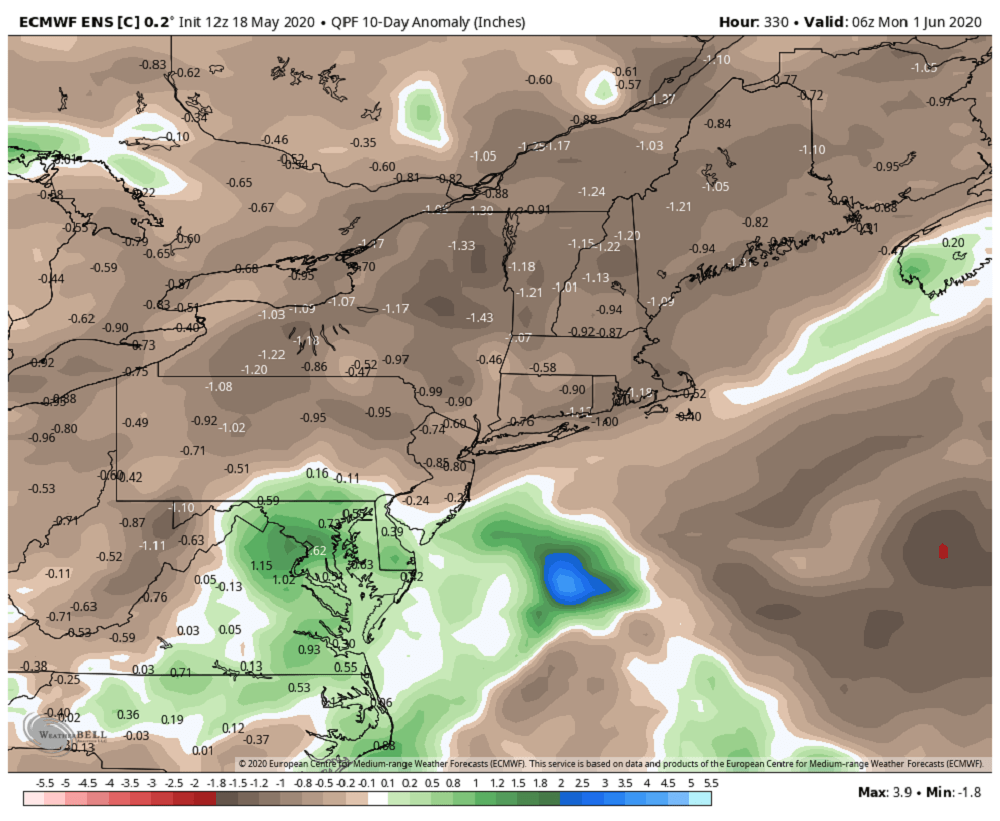
While this is going on, rain will be falling well south and west of the Northeast. High pressure will block any rain from coming here. If you're concerned about drought, I wouldn't worry just yet. However, if you have anything that's been newly planted or have containers in the yard, you're going to need to water them over the next week.
Eventually, the pattern will start to break down and we will see more rain, but we possibly could make it through the rest of the May without any water from the sky. That would be the longest dry stretch in nearly two years.
You can follow my updates here and on Twitter @growingwisdom.
Tuesday: Sunshine and cool. Highs 55-60.
Tuesday night: Partly cloudy to clear and chilly. Lows 42-49.
Wednesday: Sunshine and a few high clouds. Highs around 63.
Thursday: Sunshine and a few clouds. Highs in the mid-60s to lower 70s.
Friday: Milder with sunshine. Highs 77-82. 67-73 on the Cape and Islands.
Saturday: Sunshine and clouds. Highs 66-73. Warmest inland.
Sunday: More sunshine. Highs 65-70.
Memorial Day: Sunny and highs around 70.
