Advertisement
Today's Weather: Sunshine Abounds
It's chilly across the region, with some areas in the upper 30s and the rest of us in the 40s. High pressure continues to build from Canada, but will push offshore over the next 24 to 48 hours, allowing for a return flow of southerly air and warmer temperatures.
Temperatures Wednesday afternoon and Thursday will be warmest inland and coolest at the coast with that persistent easterly wind. On Friday the winds will turn more to a southerly direction meeting that even Boston will warm up into the 70s to near 80
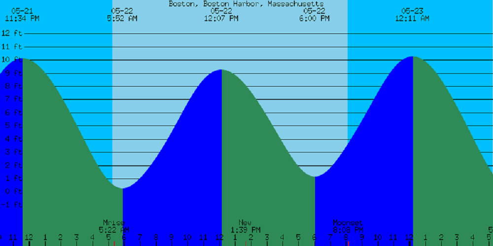
As we approach the weekend, high tides will occur around noon. As always, check your latest tide chart for your particular beach if you need to know the exact time of high tide.
It will be cooler are along the beaches, especially on Sunday, when temperatures may stay in the upper 50s to near 60 at the water's edge. Expect a bit of a warming trend next week, but I still don't see any rain in the forecast.
You can follow my updates here and on Twitter @growingwisdom.
Wednesday: Sunshine and a few high clouds. Highs around 63.
Wednesday night: Partly cloudy to clear and chilly. Lows 34-44. Coolest interior valleys.
Thursday: Sunshine and a few clouds. Highs in the mid-60s to lower 70s, and in the 50s on Cape Cod.
Friday: Milder with sunshine. Highs 77-82. 67-73 on the Cape and Islands.
Saturday: Sunshine and clouds. Highs 58-67. Warmest inland.
Sunday: More sunshine. Highs 56-65.
Memorial Day: Sunny, with highs around 70.
