Support WBUR
Report: Charles River flooding will increase considerably with climate change
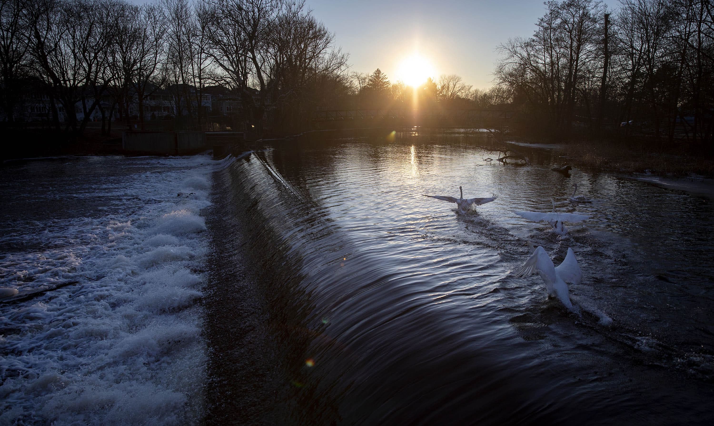
A new report finds communities along the Charles River will experience an appreciable increase in flooding within the next 50 years.
Due to climate change, extreme storms that are less common now are expected to become more frequent and discharge a higher amount of water. Using these existing rainfall predictions, a Charles River Watershed Association report modeled the impact of future storms on 20 towns along the river and found many places where flooding could damage key infrastructure, including in Newton, Dedham, Watertown, Waltham and Wellesley.
“One of the big takeaways was that it is going to take considerable adaptation efforts, considerable investments to be able to address the flooding that this tool tells us is coming,” said Julie Wood, the Charles River Watershed Association’s Climate Compact initiative director. She said the report will help towns to make planning decisions.
The research made clear that the towns need "bold, regional action," said Wood. “You can’t just do one thing and solve the problem.”
While cities like Boston, Cambridge and Somerville had already produced future flood reports, smaller towns didn’t have climate change rainfall predictions applied to their areas. So 20 towns along the watershed, from Hopkinton to Watertown, joined together and received a grant from the Massachusetts Municipal Vulnerability Preparedness to commission the study on flood impacts and possible solutions.
Here are five key things you need to know from the report:
Flood risk is significant in short- and long-term scenarios
One source of concern the report outlines is what’s called a 100-year storm, so named because historically it occurred about once a century. By 2070, extreme storms like these will be four times more likely to happen. And by 2070, a 100-year storm could dump more than 11 inches of rain, a runoff volume increase of 61% compared to today, the report says. In the case of such a storm, the report finds that more than 2,600 acres along the Charles River that don’t currently flood would experience flooding.
The risk is also high for more frequent but lower volume storms that occur once every two years, called two-year storms. In 2030, those storms would flood 886 acres, 25% more than today’s flooding. And by 2070 those storms could flood 2,733 acres, an area increase of 78%.
To calculate these risks, engineers commissioned by the Charles River Watershed Association used a severe warming scenario of 4.5 degrees warming Celsius by 2070. The Massachusetts Executive Office of Energy and Environmental Affairs recommends using this high-emission scenario, known as RCP 8.5, for planning resilience projects. In these high carbon emissions scenarios, rainfall increases in the Charles River watershed would be considerable.
Paul Kirshen, a professor of climate change adaptation at UMass Boston who was not involved in the research, reviewed the report: “If they used a more moderate scenario, the impact would still occur but decades later,” he said.
Rainfall is increasing
The Northeast has seen the highest increase in extreme rainfall events of all U.S. regions, according to the 2018 U.S. National Climate Assessment report. In 2014, the national report found that when it comes to heavy rainfall, the region has seen a 70% increase from 1958 to 2010.
The trend is expected to continue: the more the earth warms, more rain is likely to fall in the Northeast, including in the Charles River watershed. And storms that were not so frequent are expected to happen more often.
The Charles River Watershed Association commissioned engineers to use rainfall projections from Cornell University to map out potential flooding along the Charles River and model the impacts on local infrastructure such as drainage capacity and existing dams.
“We've actually seen quite a few spots under that extreme scenario across the watershed where a lot of critical infrastructure, facilities and roadways as well as homes could be affected,” said Indrani Ghosh, an engineer with Weston & Sampson who worked on the flood model.
Ghosh said that in the extreme case of 100-year storms occurring over 24 hours, the flood could reach three feet above the ground in low-lying areas. She also mentioned the drainage pipes are not large enough to drain that volume of water.

Downstream urbanized towns will likely be most affected
Towns that are more urbanized, which means more concrete impervious surface that doesn’t absorb water, and that are located downstream are likely to be most affected. Using the flood model, the team identified towns that would have more critical infrastructure such as schools, hospitals, public water supplies, fire and police stations and roads, at risk in different scenarios. The model projections show flood risk at a large-scale and aren’t granular enough to predict specific damages to any one property.
In the case of a 100-year storm, they found that by 2070 the most affected towns with more urban infrastructure would be Needham, Newton, Wellesley, Waltham and Watertown. And in the case of a more likely 10-year storm — where the runoff could increase by 75% by 2070 — Newton, Dedham, Watertown, Waltham, and Westwood would still experience flooding.
The model also highlights forests and wetlands that face flooding and recommends that towns avoid development in those areas, said Wood from the Charles River Watershed Association.
“This [model] gives us that information to understand what areas are vulnerable to flooding both now and in the future, and how we can maybe preserve some of those natural areas which can and are providing natural flood storage.”
Downstream areas will see more flowing water during heavy rains and are more prone to flooding. For this reason, a regional approach is more effective than if each town tried to act alone, Wood said. Different strategies work in different places: upstream areas have more opportunities to store water to prevent it from flooding downstream. Downstream, the goal is to get out of the flood plain.
“Perhaps some of the upstream communities may need to hold back water to prevent downstream flooding,” said Kirshen, a professor at UMass Boston. “What's tricky about this is who pays for the improvements and the management strategies? Because the downstream communities are certainly benefiting from actions being taken by upstream communities.”
Solutions will need multiple approaches
Town managers, engineers and over 150 community members participated in the conversation to generate solutions. The report team found 50 potential projects that could be used to mitigate flood impacts, from increasing the capacity of wetlands to hold water to building green roofs to adding permeable pavement and rain tanks to slow down stormwater runoff. The overall conclusion is that the communities will need a mix of strategies to mitigate the impacts of flooding and that each town will have a different solution.
Using different rainfall scenarios, the team tested the effectiveness of different mitigation approaches on flooding in the model. For example, when the engineers increased the size of existing wetlands by 20% using a 10-year storm in 2070 projection, the team was surprised to learn that this would only protect 29 acres — less than 1% — of land from flooding compared to a no-action scenario.
Another hypothesis they tested was to see what would happen if they implemented various strategies to retain rainfall that hits half of impervious surfaces existing today across the watershed. This had a small impact on reducing the runoff. Compared to a no-action scenario, it protected 500 acres — about 5% — from flooding.

Towns are considering flood reduction projects
In Waltham, the community unearthed an engineering project proposed in the 1980s to use 45-acre Hardy Pond as a way to hold stormwater. The idea is to lower the water in the pond days ahead a storm is predicted, so it can hold more rainfall. The town is also considering restoring wetlands and using green infrastructure such as permeable pavement.
In Medway, one of the ideas for Oakland Park is to build a bioswale that would slow and filter runoff and before it drains it into an underground water storage.
One of the concepts proposed by the city of Newton is to add green infrastructure when updating the Albemarle Field athletic complex. Ideas include building an underground rainwater storage area and improving the water absorption of the surfaces with permeable pavement and rain gardens.
The Charles River Watershed Association has shared the report with all 20 towns, and will begin accepting public comments online and at their next meeting in January. The association also plans to keep testing various solutions to see how the towns can move forward.
“Given the level of investment and action that it's going to take to adapt to the changes that are coming, to reduce these impacts, to keep us all safe, we really need to get started,” said Wood.