Support WBUR
Multiple messy weather days expected this week, with a potential Sunday storm
If you were hoping for quiet weather to ease into the back half of February, the atmosphere has other plans. With the jet stream nearby and several disturbances rotating through, we’re looking at a classic New England stretch with systems to track every couple of days.
We'll take it one at a time, focusing on Wednesday first.
Wednesday: The afternoon flip
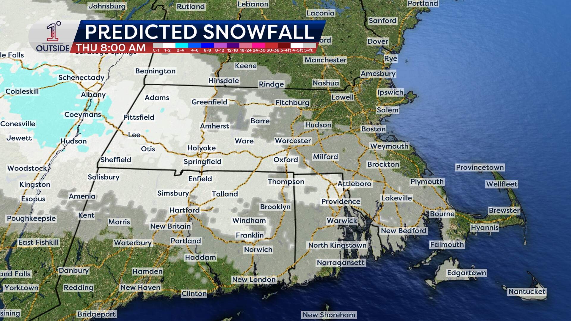
Pockets of rain and showers continue through Wednesday afternoon, with a transition to wet snowflakes mixing in at times during the evening. Coming off of temperatures in the mid to upper 30s, roads will remain wet — so no significant issues are anticipated through the evening commute. Some localized slick spots will be possible early Thursday morning as the temperature drops below freezing.
- Accumulations: A coating of snow on colder surfaces is possible outside of Route 128. The Worcester hills and western part of the state could see a few spots around 1 to 2 inches.
- A breather on Thursday: Expect a dry and relatively mild day, with highs reaching the upper 30s to near 40.
Friday: Not a major storm, but watch the roads
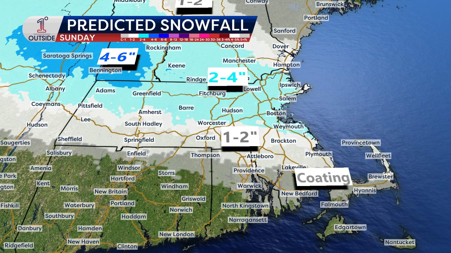
The quiet won't last long. A wintry mix is likely to return Friday and last into the evening. While it's not expected to be a blockbuster event, it will still have impact.
- Timing: Current indications suggest the precipitation will hold off until after the Friday morning commute. It will likely arrive around midday Friday as a burst of snow that then changes to rain south of the Mass. Pike.
- Impact: The Friday afternoon and evening commute may be a bit of a headache, so factor in some extra travel time if you're heading out for the weekend.
- Accumulations: It's a bit early to say, but current indications are for 2 to 4 inches.
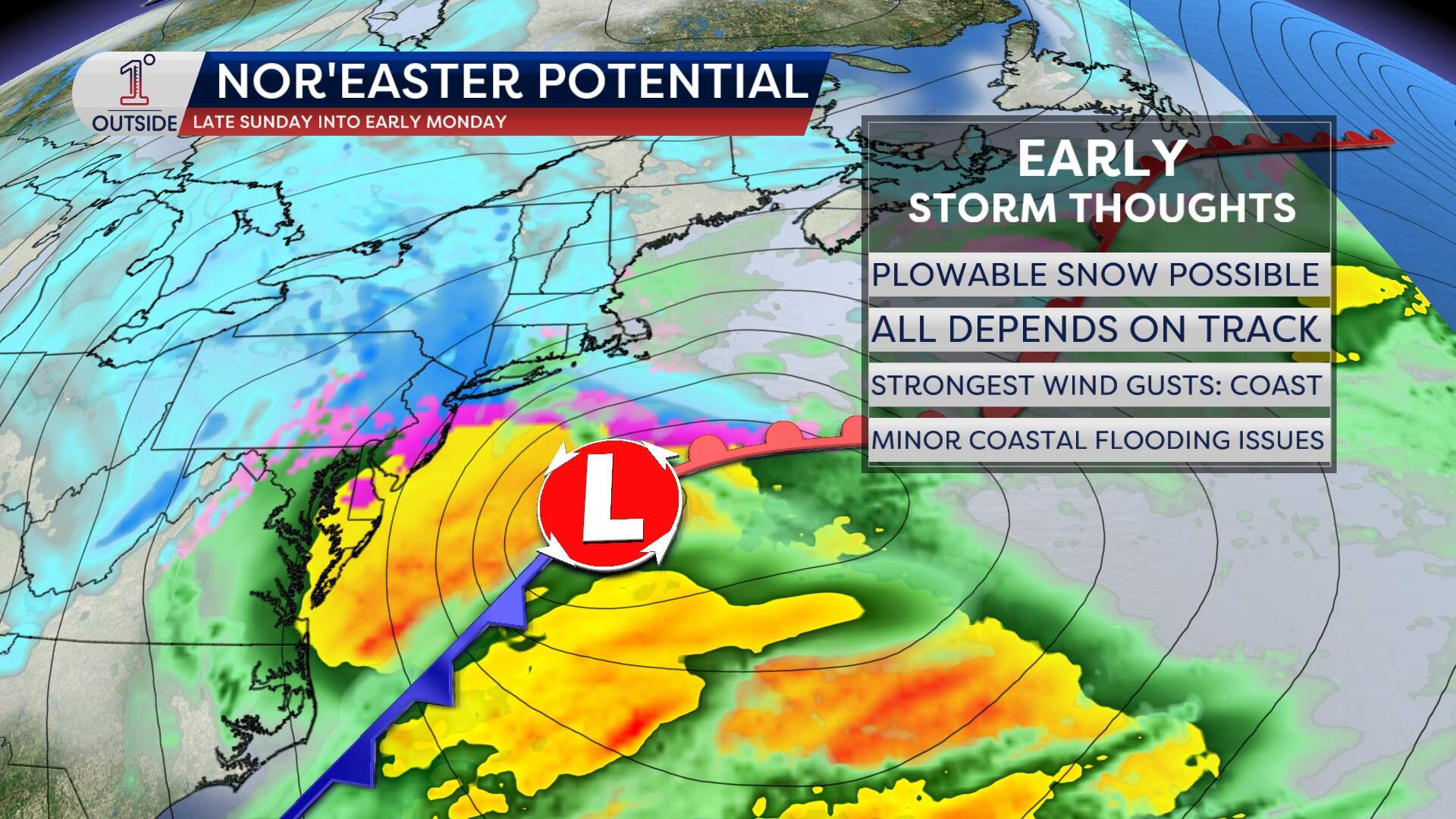
Sunday into early Monday: Nor'easter potential
Finally, keep a close eye on the potential for a more significant winter storm late Sunday into early Monday.
As is typical with these coastal setups, the track is everything. If the storm hugs the coast, the area will be looking at more significant snowfall totals and impacts. If it slides further southeast, Massachusetts might just see a graze. At this point, a complete miss is still possible.
Bottom line: stay tuned to the forecast in the days ahead — tweaks and changes are likely.
Get the latest updates at 1DegreeOutside.com or on the free 1DegreeOutside mobile app.
This article was originally published on February 17, 2026.
