Support WBUR
What Satellite Images Can Tell Us About Countries' Economies
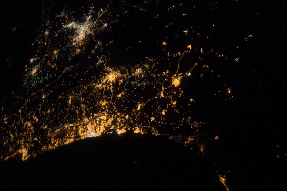
Cameras orbiting the earth are becoming less expensive and therefore more widespread. And as Bloomberg News reports, the images collected are providing a lot of economic information, to everyone from investors to aid organizations.
Jeff Kearns writes in Bloomberg:
In Myanmar, night lights indicate slower growth than World Bank estimates. In Kenya, photos of homes with metal roofs can show transition from poverty. In China, trucks in factory parking lots can indicate industrial output.
Images from these and other satellites, combined with big-data software, are helping to create what former NASA scientist James Crawford calls a “macroscope” to “see things that are too large to be taken in by the human eye.” Aid organizations can use the results to distribute donations. Investors can mine them to pick stocks.
Here & Now's Robin Young speaks with Bloomberg's Michael Reagan about the story.
Guest
- Michael Regan, editor at Bloomberg News. He tweets @Reganonymous.
This segment aired on July 10, 2015.