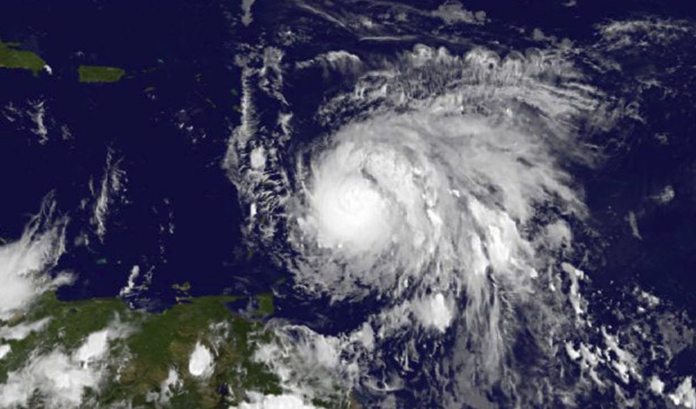
This Sunday, Sept. 17, 2017, GOES East satellite image provided by NASA taken at 7:45 p.m EDT, shows Hurricane Maria as it approaches the Lesser Antilles. Maria swiftly grew into a hurricane Sunday, and forecasters said it was expected to become much stronger over the coming hours following a path that would take it near many of the islands wrecked by Hurricane Irma and then on toward Puerto Rico, the Dominican Republic and Haiti. (NASA via AP)
Hurricane Maria is spinning toward some of the same Caribbean islands that were destroyed earlier this month by Irma.
Here & Now's Jeremy Hobson talks with meteorologist David Epstein (@growingwisdom), who is tracking the storm.