Advertisement
Freezing Rain Makes For Icy Commute Tuesday, With Snow On The Way
ResumeIf you're heading out Tuesday morning, you'll want to watch your step. Overnight freezing rain should end by mid-morning, but it will remain treacherous on sidewalks and under wheels on untreated surfaces — and the precipitation is not done for the day.
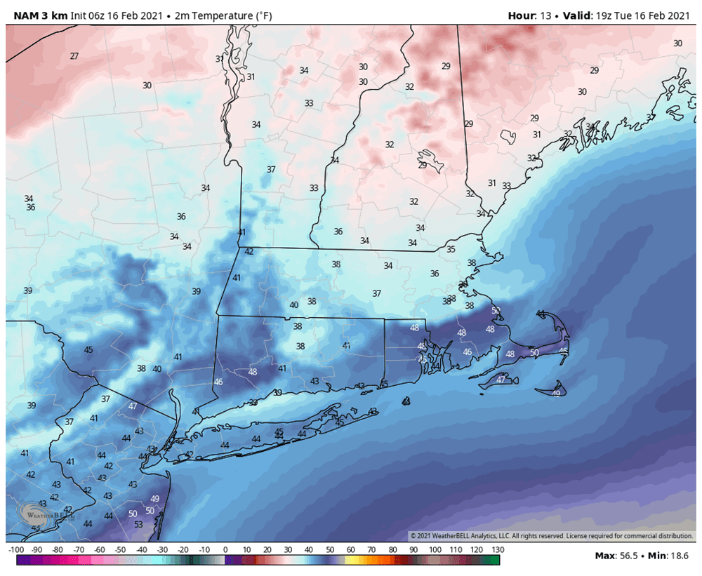
Temperatures have risen above freezing across most of eastern Massachusetts but still remain below freezing over the far interior. Over the morning, rain will continue and temperatures will slowly rise. There could even be some thunder with the heavier downpours later this morning.
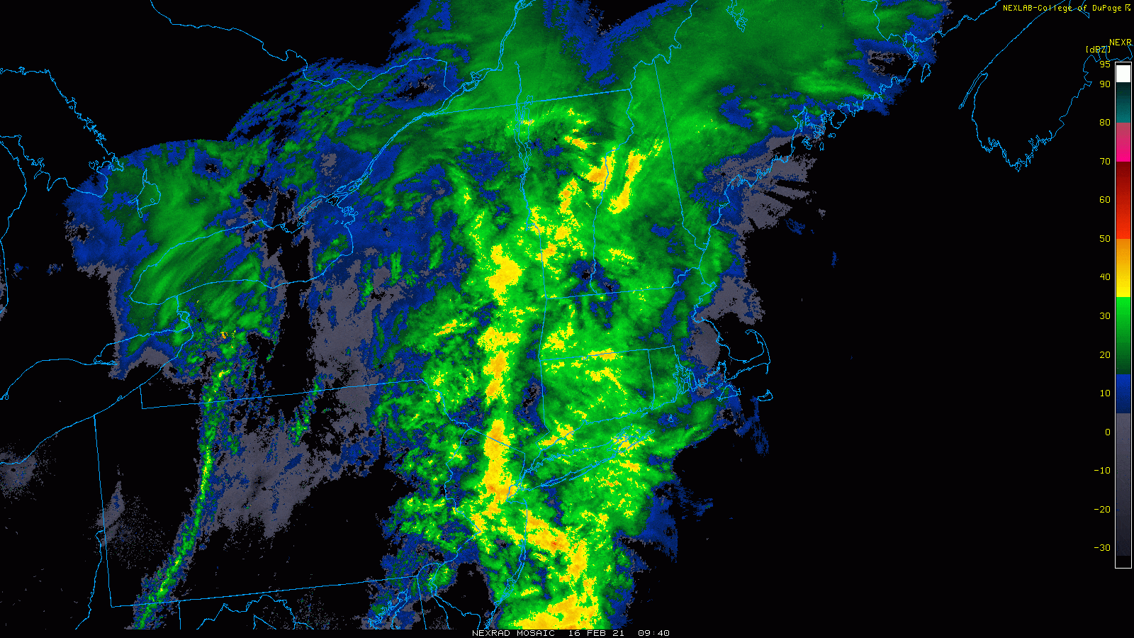
The rain will come to an end by noon, but don't expect clearing to develop until later tonight. Temperatures this afternoon could reach as warm as 50 over Cape Cod, but will stay in the upper 30s and lower 40s over inland areas.
A cold night is ahead, with readings down near or below 20 degrees along with clearing skies. This will set us up for a very nice Wednesday. It'll be cold with the high just under freezing.
A large high pressure system building in the north will usher in a storm Thursday night and Friday, keeping cold air locked in at many layers of the atmosphere ensuring that the precipitation starts as snow. Whether it will all end up as snow or we'll have more of a wintry mix remains to be seen.
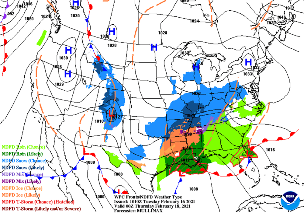
The snow will wind down during the middle part of the day Friday, after several inches have fallen. Presently, it looks like most areas will see between 4 to 8 inches of accumulation; probably a coating to 4 inches from Cape Cod up to somewhere over southeastern Massachusetts. If the cold air is more or less intense, that rain-snow line will move. Obviously, this can change as new data arrives.
The weekend looks cold and dry, with temperatures below average. More typical readings for this time of the year would be approaching 40 degrees; however, we will barely get to freezing.
This segment aired on February 16, 2021.
