Support WBUR
N.H. scientists are using drones to help find harmful algae blooms
Harmful cyanobacteria blooms have become an increasing threat in New England's lakes and ponds, as climate change warms up the state’s water and air. But researchers at the University of New Hampshire have developed a new, faster way to check for those toxic algae using drones.
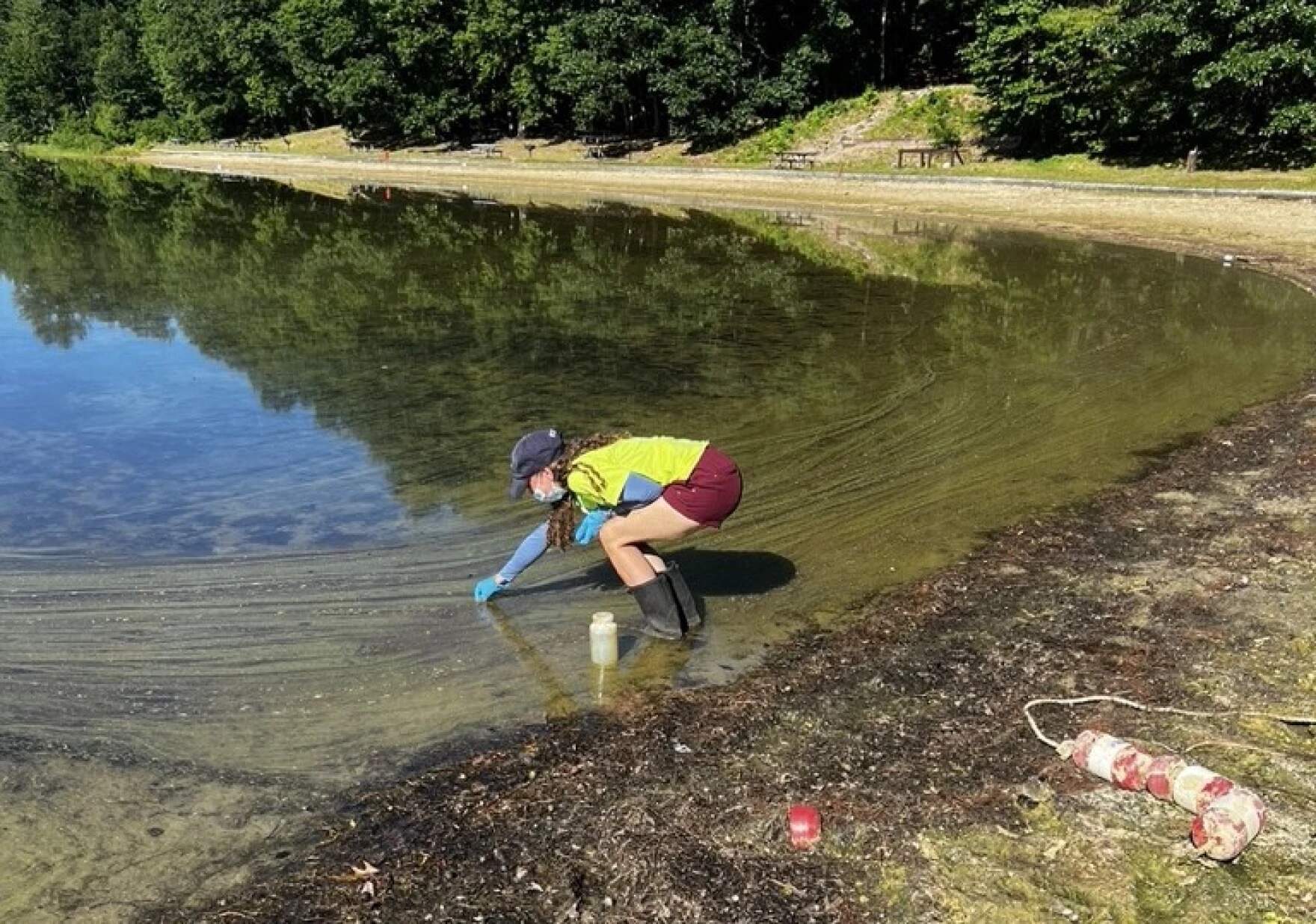
Cyanobacteria is a blue-green algae that can be toxic to humans and pets. To keep swimmers safe, officials with the state’s Department of Environmental Services go from lake to lake, gathering samples and testing for the bacteria. But now, scientists say they can use drones with special cameras to fly over the lakes to do the same work more than four times faster, and with high accuracy.
Russell Congalton, a professor of natural resources and the environment at UNH and a scientist at the N.H. Agricultural Experiment Station, worked on the project with graduate student Christine Bunyon.
He says using the drone to look for cyanobacteria can also help find blooms that are happening only in some parts of the lake, but not in others.
“Covering the entire lake is so powerful compared to maybe going to the corner of the beach and taking a water sample,” he said. “We get the whole lake so we can tell you, okay, it's not so good here, but it's fine over there.”
The drone uses a multispectral camera, which can see wavelengths beyond what human eyes can perceive, to determine the concentration of cyanobacteria in the lake.
Between May 2022 and September 2022, researchers flew drones over Silver Lake, as well as French, Greenwood, Keyser, Showell and Tucker ponds. They also took water samples in the more traditional way to compare results, and found the drone images produced accurate results.
Congalton says there are some limitations – for example, if a water body is too large, the drone can’t register the ground around it to provide a location. And the researchers did run into some issues with the residents on the lakes they visited.
“Initially people were like, ‘Why are you flying over our lake? We don’t want people violating our privacy,’ he said. “Once we talked to people about what we were doing there, they were actually very excited for us to come and visit their lake.”
This story is a production of the New England News Collaborative. It was originally published by New Hampshire Public Radio.