Support WBUR
The Next Generation Of Maps
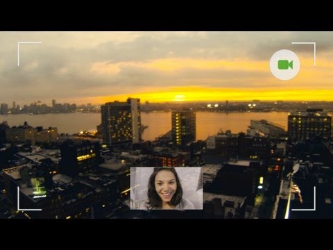
Maps you can move in. Big, deep, 3D changes coming to the world of digital cartography.

Time was, a good map was rolled out in captain’s quarters on a rolling sea or a king’s table far from the front. Splotched with gravy. Embellished with mermaids. A grand, rough approximation of the world as we knew it. Flash forward to the smartphone in your pocket, the apps all over, the future rushing at us, and we’ve got maps gone wild.
Cartography on digital steroids. Maps loaded with terabytes of data. 3D maps. Maps you can zoom over, zoom into. Walk through. Now Google and Apple are squaring off over the next great map frontier.
This hour, On Point: maps gone wild.
-Tom Ashbrook
Guests
Steven Levy, a senior writer at Wired magazine and author of In The Plex: How Google Thinks, Works, and Shapes Our Lives.
Darin Jensen, a cartographer and Professor of Geography at the University of California, Berkeley.
David Heyman, cartographer and co-founder of Axis Maps, a group that designs custom and interactive maps for the digital age.
From Tom's Reading List
Slate "Is Google worried that Apple’s defection will substantially reduce its user base, and, consequently, the advertising revenue it gains through maps? Does the search company fear that it could lose its place as the online mapping leader, a position that has long been one of its competitive advantages? Is it concerned that Apple might build a better, more useful maps app?"
All Things D "Apple has been hard at work developing its own in-house mapping solution for iOS, and now it’s finally ready to debut it."
CNN "Google and Apple's race to develop new mapping techniques sparks new concerns over privacy issues."
Slate Review of the "The Greatest Paper Map of the United States You’ll Ever See."
Slash Gear "Currently, Google Maps does not list waterways is active routes that people can use to move around nearby cities. The charity in charge of the UK waterways will work with Google to identify all access points to waterways and to identify bridges and tunnels. The goal is to allow people who live near canals and waterways to be able to access them as travel locations via Google Maps."
Photos
Video: Google Glasses
This program aired on June 21, 2012.