Support WBUR
FEMA gives Boston, MBTA $13M to reduce flood risks
The city of Boston and the MBTA will receive nearly $13 million from the Federal Emergency Management Agency to protect neighborhoods and infrastructure from the impacts of climate change.
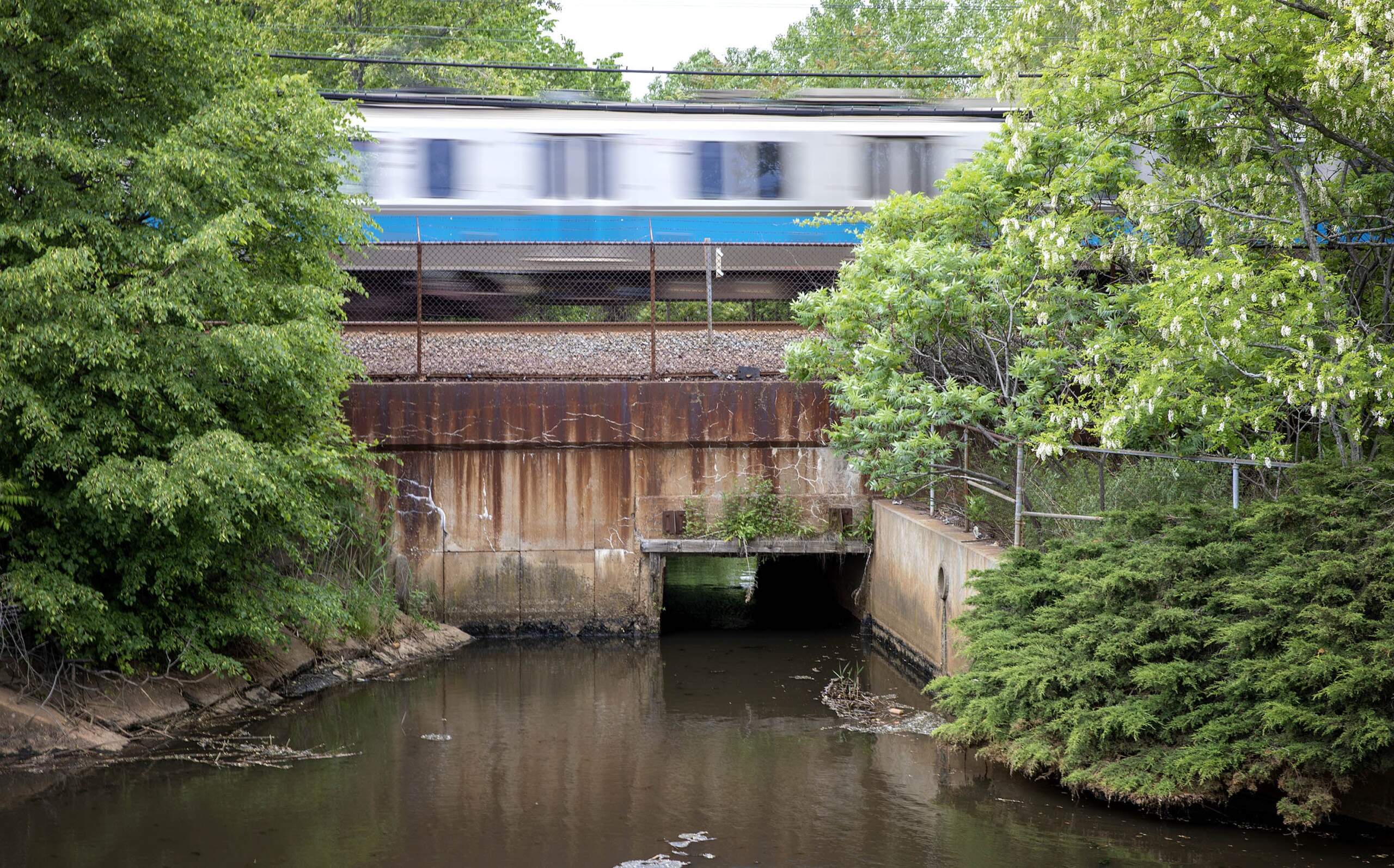
The MBTA will receive nearly $10 million to protect the Blue Line from flooding. Much of the line lies below sea level, and a 2018 winter storm caused $3.5 million in flood damage at Aquarium Station. Coastal flooding could cost the MBTA system $63 million annually by 2030, according to Lynsey Heffernan, the agency's chief of policy and strategic planning.
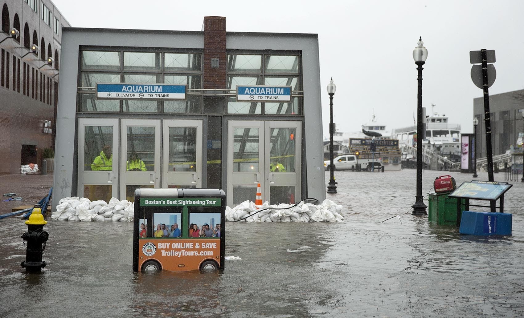
The FEMA money will help pay for flood doors on either end of the tunnel carrying Blue Line riders under Boston Harbor, to and from stations including Logan Airport. The doors would close to protect the tunnel in case of surging water during a storm, Heffernan explained. She said the tunnel was potentially the T's "most critical point of failure."
“And of course, our system's all connected. If the Blue Line floods, we worry about flooding that could run through the rest of the subway system,” said Heffernan.
FEMA will direct a separate $3 million grant to Boston to protect waterfront neighborhoods from the impacts of climate change. The money will pay for planning, design and permitting for projects in the Lewis Street and Carlton Wharf areas of East Boston, and the Moakley Park area of South Boston.
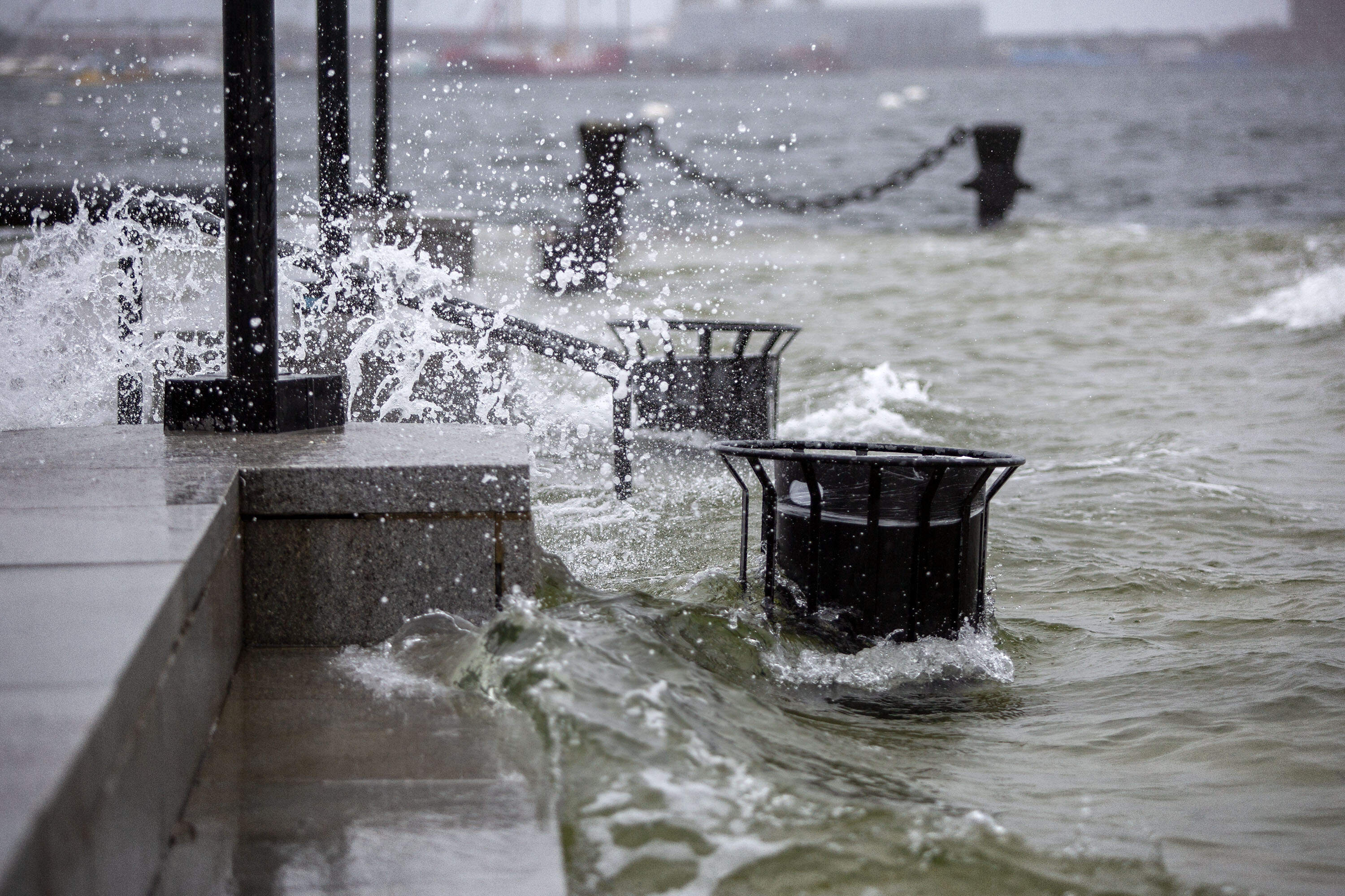
The East Boston project aims to elevate sections of the Harborwalk to protect the Blue Line, residential areas and Maverick Square from flooding. The effects of climate change are already visible in East Boston, with streets flooding during storms and extreme high tides.
“Boston is very vulnerable to the impacts of climate change, sea level rise, coastal flooding, storm surge. In my district in particular, we are extremely vulnerable to all of those negative impacts,” said Boston City Councilor Gabriela Coletta Zapata, who represents East Boston.
The Moakley Park project, part of a larger park improvement initiative, focuses on building flood resilience infrastructure to protect affordable housing developments and key transportation systems.
Boston is expected to see 9 inches of sea level rise over 2013 levels by the 2030s. By the 2070s, the sea level is expected to rise 40 inches, as intense rainfall also increases. City planners warn the excess water could turn low-lying neighborhoods into flood pathways.
Boston’s chief climate officer, Brian Swett, said the city has mapped out the 18 most critical infrastructure projects to close projected flood paths. “That's what we're focused on,” he said.
But protecting Boston’s 47 miles of coastline is complicated by the patchwork of city, state, federal and private property ownership along the coast, he said. So rather than protecting the waterfront with one huge project, like the Boston Harbor cleanup, “this is inherently going to be a series of projects between now and 2070.”
Boston is awaiting additional FEMA funding for an effort to reduce chronic flooding in the Tenean Beach area of Dorchester. Swett said he does not expect the inauguration of President Trump to impede the grant.
“This is apolitical,” he said. “ People want to be prepared against natural hazards.”