Boston Under Water
Boston’s charm lies in its location and its age, with historic buildings and winding streets shouldering up to the waterfront. But the city was built for a different climate, and with scientists projecting up to 40 inches of sea rise by 2070, those charms are now vulnerabilities.

'Your Condo Is Going To Flood': A Sculptural Installation Predicts What Climate Change Could Bring
Interdisciplinary artist Zy Baer's installation, called "Polarity," warns about the threat of rising sea levels, and what the Seaport District will look like if no action is taken on climate...

Old Sewers, New Problem: Boston's Stormwater System Is Threatened By Climate Change
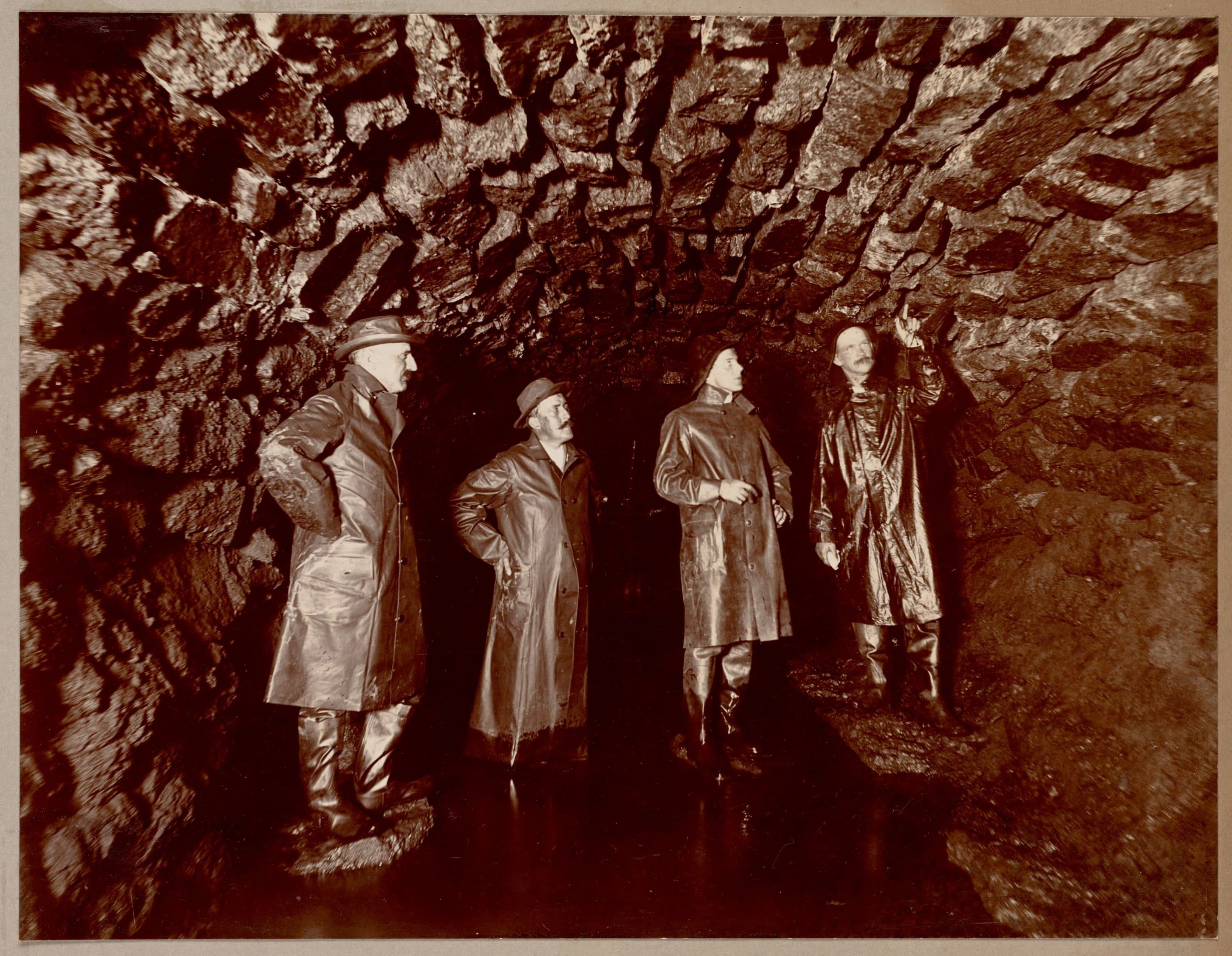
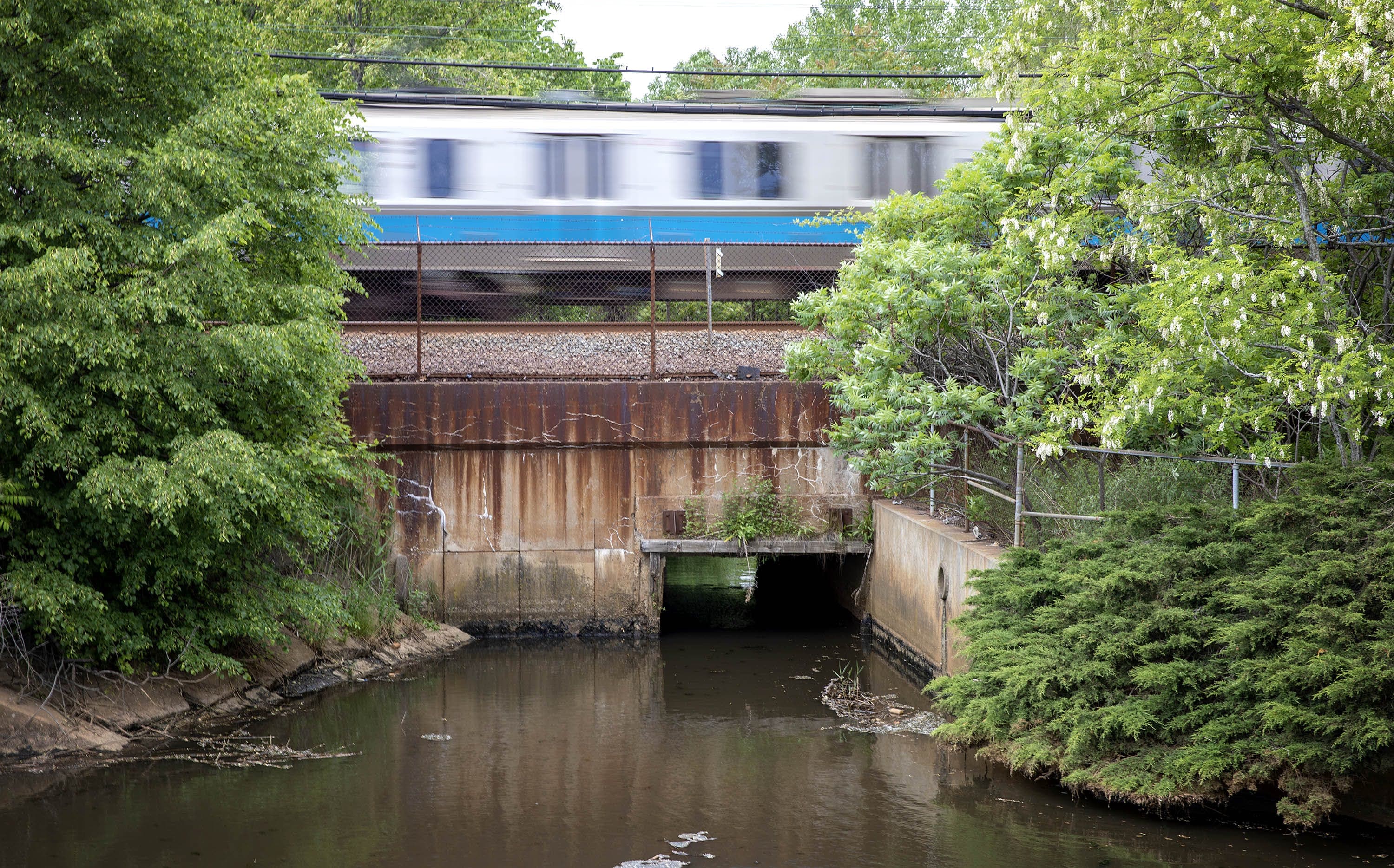
Of the 666 miles of stormwater pipes running underneath the city, nearly half were built during the 1930s or earlier -- and at least 120 miles predate World War I.
Boston’s Stormwater Problems Are Older Than The City Itself
How Boston's modern-day stormwater system came to be
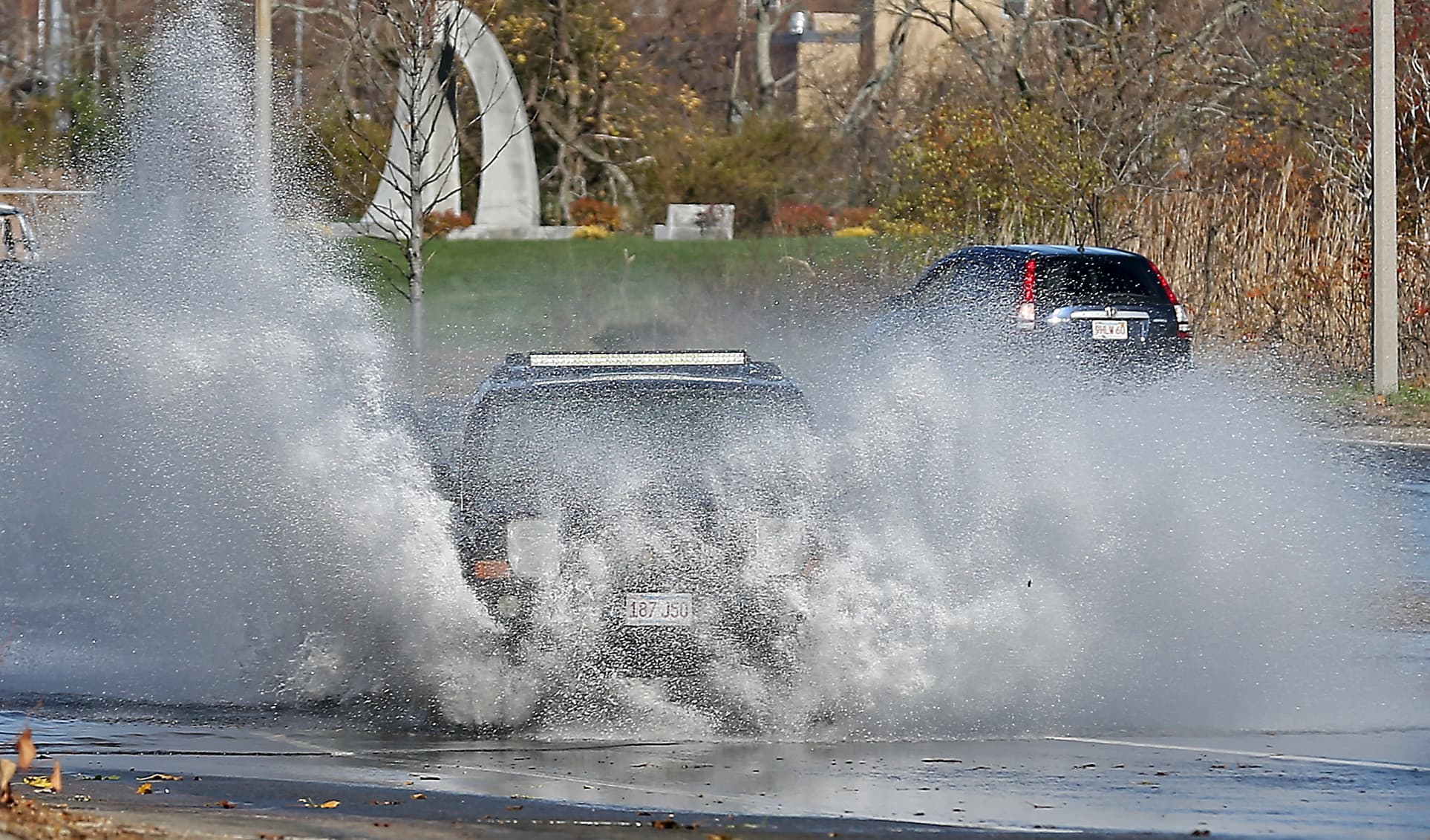
As Sea Levels Rise in Boston, Stormwater May Have Nowhere To Go
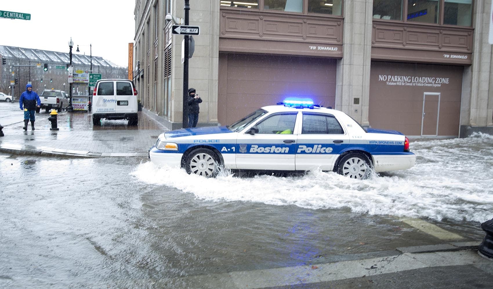
The labyrinth of underground pipes that collect rainwater from catch basins on the street and conveys it to rivers or Boston Harbor isn’t equipped to handle the rising sea levels...
Chelsea Residents Already Fight For Clean Air, Green Space — And Now, Protection From Rising Seas
A lifetime of working, saving and struggling could be lost in a single storm surge, writes Roseann Bongiovanni. Members of my community will be driven from their homes, their neighborhoods.
Support WBUR
Test your Boston and climate change knowledge with our sea-level rise quiz
Think you know Boston's waterfront? Try your hand at this quiz.
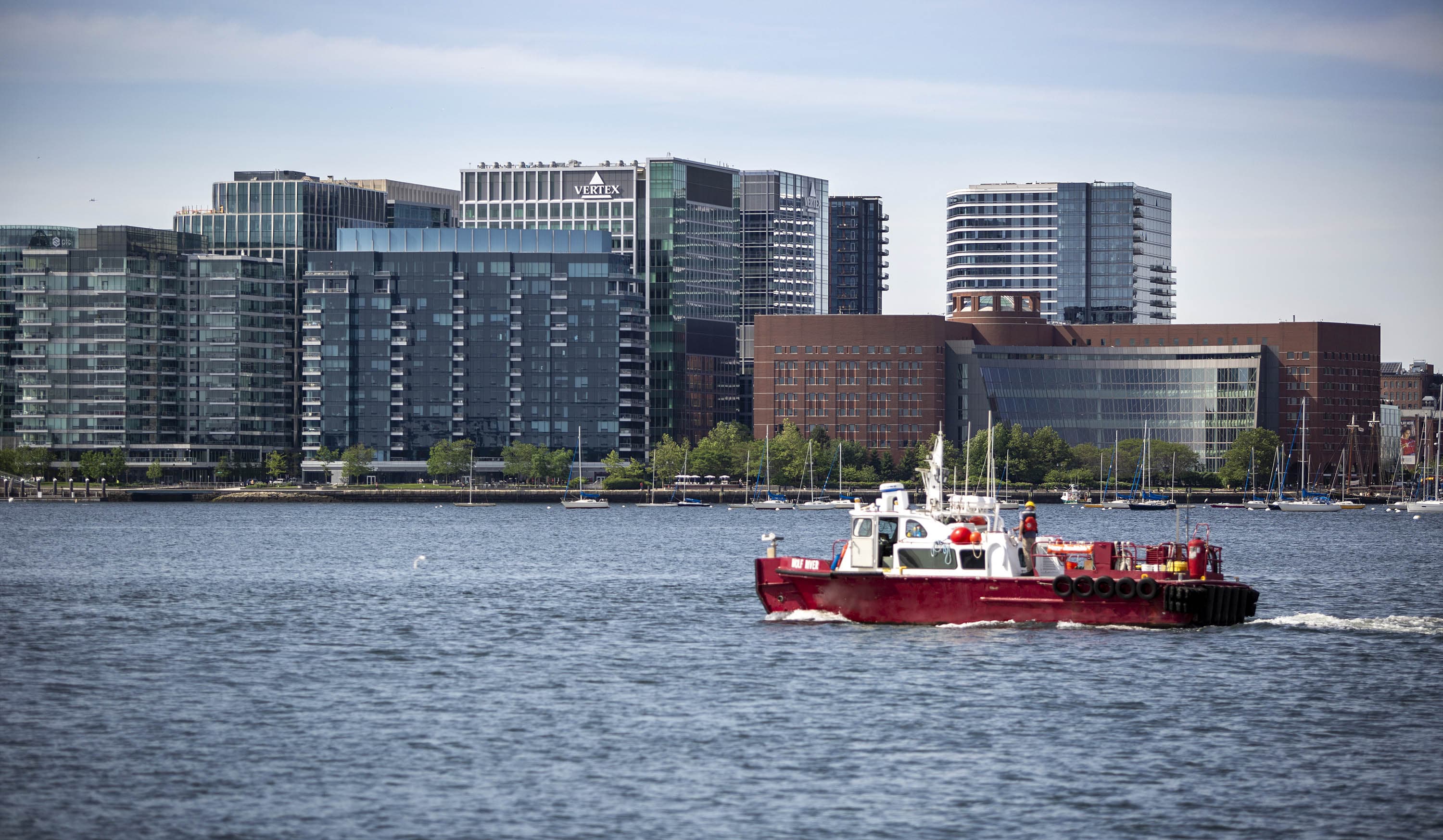
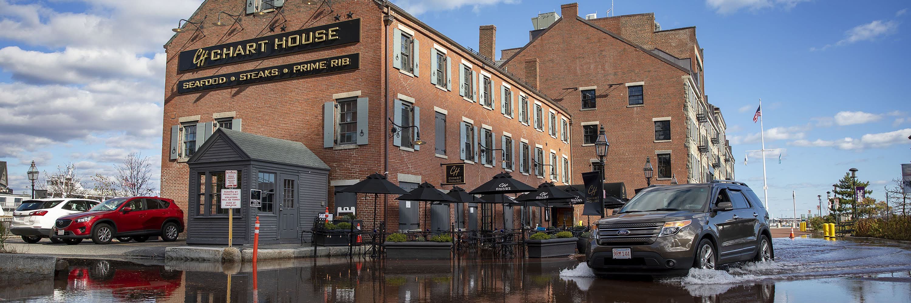
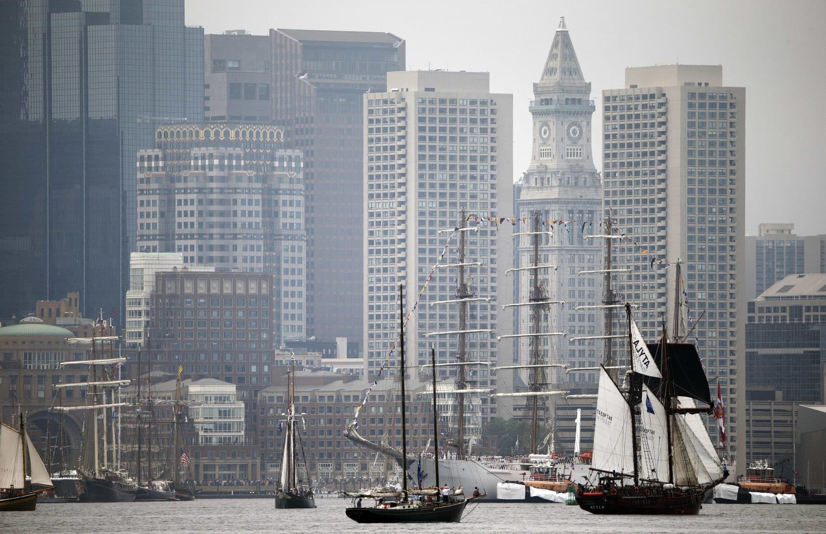
The Seaport Cost Billions To Build. What Will It Take To Save It?
The Seaport is one of the most vulnerable areas to sea-level rise in Boston. There are big questions about who should pay to protect it.
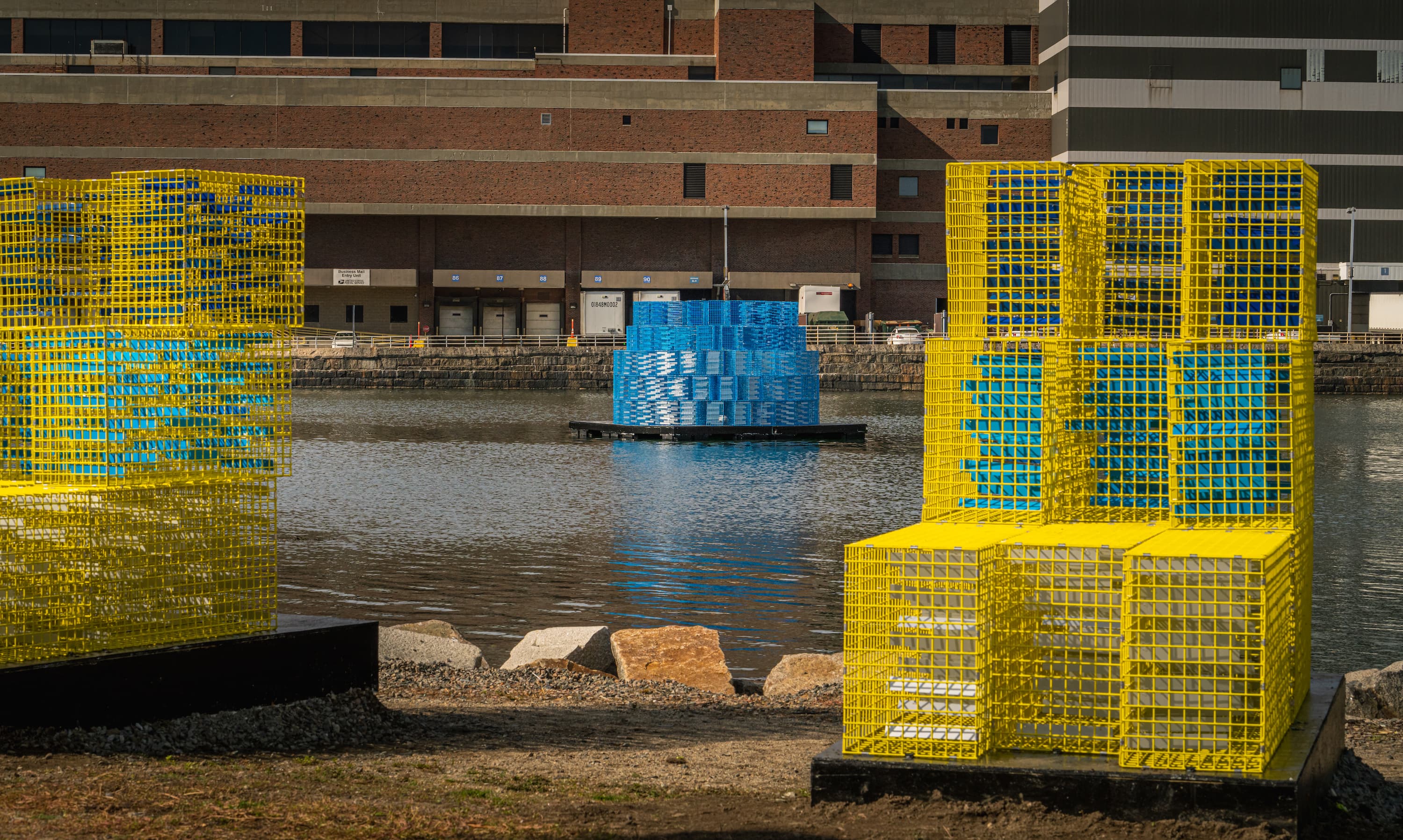
Fort Point Channel Sculptures Model How High The Water Could Rise In The City
Artist and professor Carolina Aragón created "FutureSHORELINE," a temporary art installation that shows projected flooding in Boston, due to sea level rise.
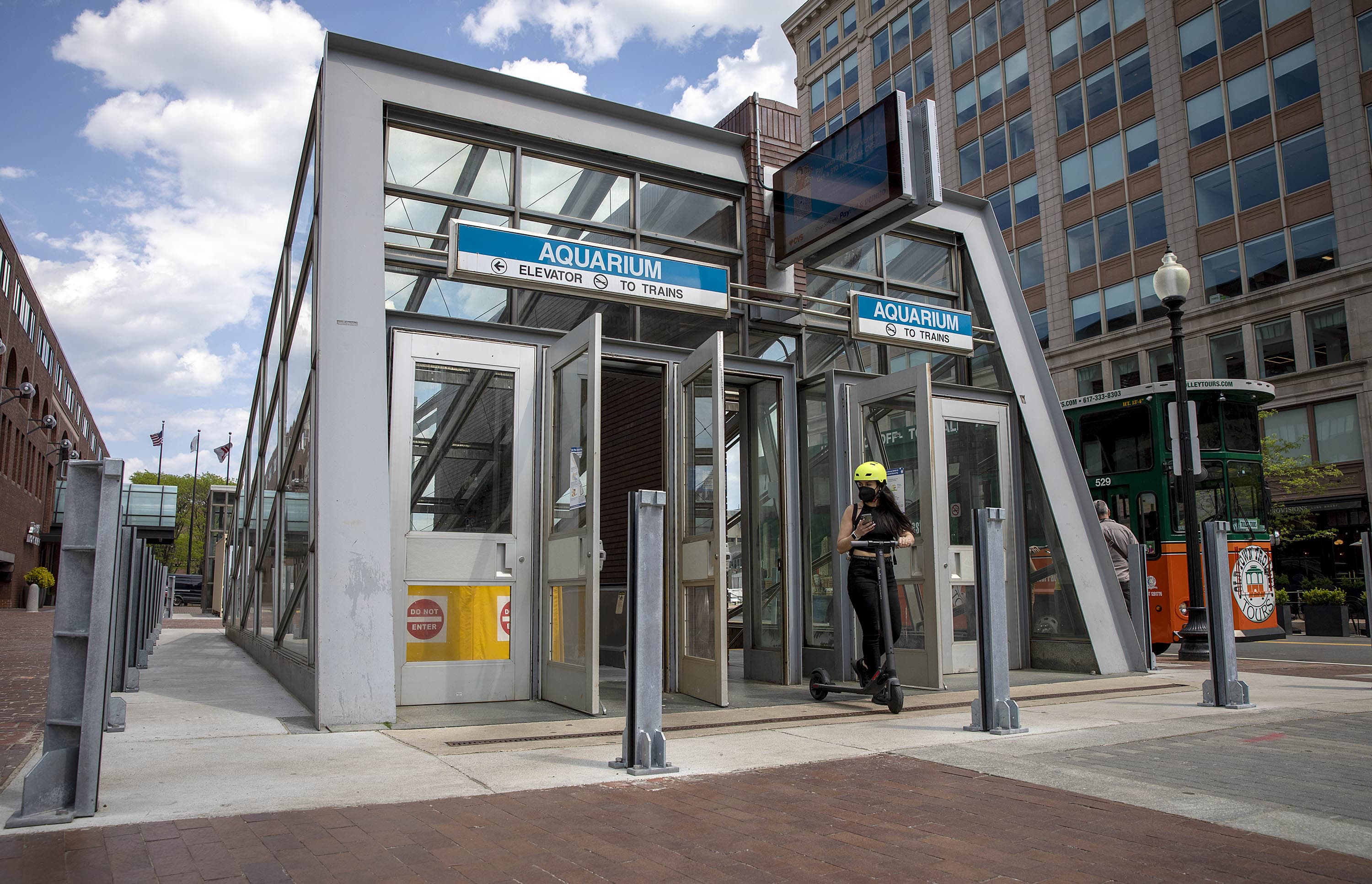
Understanding The Climate Threats To The Blue Line, MBTA
We speak with WBUR reporter Simón Ríos and Julie Wormser, Deputy Director at the Mystic River Watershed Association.
The Blue Line Was Named For Boston Harbor. Now The Sea Threatens The Service
Without Belle Isle Marsh the Blue Line would be far more vulnerable to flooding. But, as sea level continues to rise, the marsh may disappear under water.
The 1-2-3s Of Boston's Rising Sea Level
We cover a lot of this information in our series "Boston Under Water." To help you wrap your head around the issues, we're breaking things down by the numbers.
To Survive Rising Seas, Boston May Need To 'Make' Land Again
Fill is a touchy subject in Boston Harbor, writes Courtney Humphries. But new fill may be needed to achieve the city’s vision for a waterfront that will continue to thrive...
Kicking Off New WBUR Series, "Boston Under Water"
We discuss "Boston Under Water," a new WBUR series that kicks off today, exploring the issue of sea-level rise, our vulnerability to it and what's being done to mitigate it.
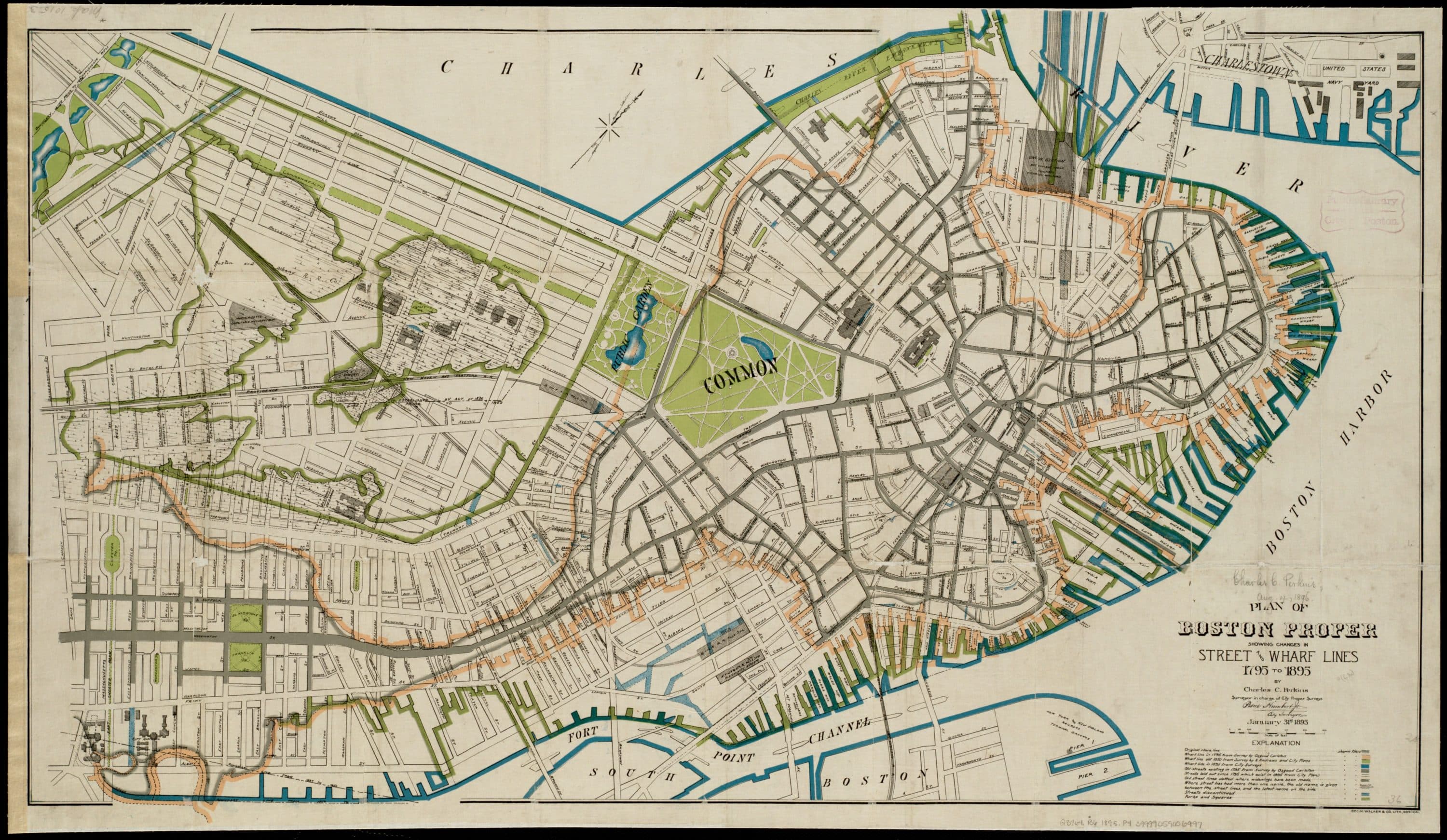
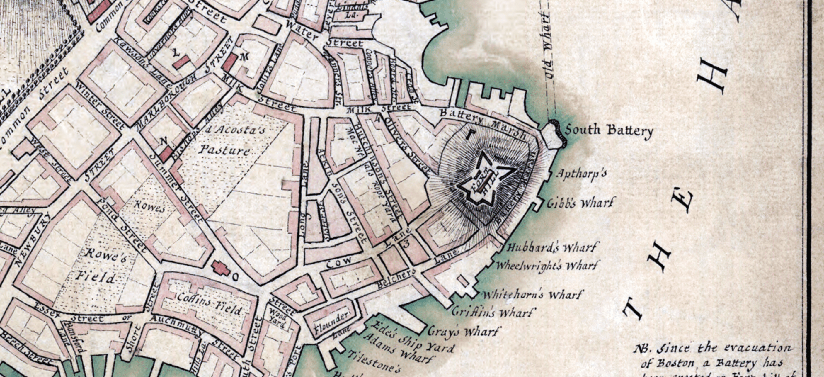
8 maps that explain Boston's changing shoreline
These eight historical maps offer snapshots of Boston’s growth over time, documenting the city's ongoing -- and ever-changing -- relationship with the sea.
Sam Adams In The Water: A Conversation With Historian Nancy Seasholes About Landmaking In Boston
Historian Nancy Seasholes talks about what Boston's history landmaking means for its future, as climate change brings more rain and higher seas.